
Mary Anne Group of Islands
After arising in Beadon Bay, we only had a couple of chores to tick off in Onslow, the first and largest being the washing of course, with a gas and fuel top up also required. Due to the weather, which was either howling from the direction in which we wanted to travel or no wind at all, we had been motoring more than normal and it appeared that trend was going to stay. Hence, we needed a small top up – only 40 litres to make sure we were well and truly covered for our run to Dampier.
By day’s end we had sorted our washing via the caravan park – although the one and only dryer was not working so Singularity was looking like a Chinese junk with sheets and assorted bits of clothing from knickers to boardies pegged and hanging on all available spaces! Fuel, gas and a quick trip to the Onslow General Store for some spinach, milk and bread and we were done. We opted for dinner on the boat in light conditions and even got to watch a bit of telly - before the whole town had a power outage that killed the tv signal!


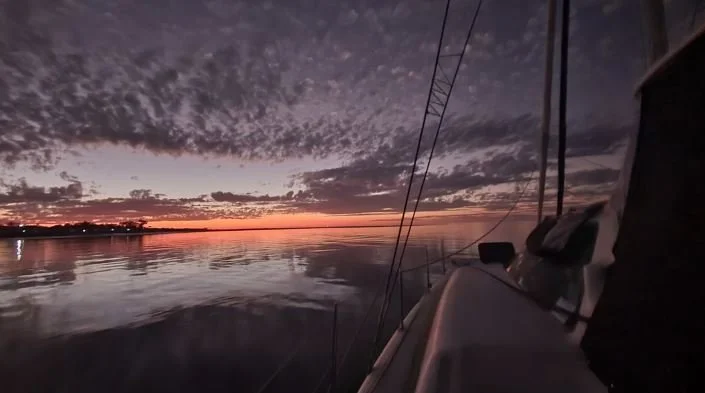

We had a planned departure for sunrise, aka rise at 6.15am and prep and depart, with the forecast showing light winds for the next four to five days and so it was a going to be a combination of light sails and motoring. There were also some really large patches of weed still around which we would need to avoid.
Our passage was to Large Island and the first part was a pretty simple run straight up the coast, about 3nm offshore which took us to Coolgra Point, from where we would head a little more offshore to clear some shallow ground and the Mangrove Islands.
There was an alternate route closer inshore via Mangrove passage, however the area had a few warnings about inadequate survey and there was the odd rock shown on the charts – enough to make us not want to risk going through there, having never been in this area before. Therefore we continued eastward before following a passage between North Island and Little Rocky Island to enter in behind the Mary Anne Group.
Interestingly, this inshore area is considered a storm anchorage so there are a lot of moorings scattered throughout, as well as barges and other assorted work platforms sitting on moorings awaiting their next job. It was spring tides so there was quite a bit of current, but fortunately it was in our favour as we navigated around the various shoals and islands.
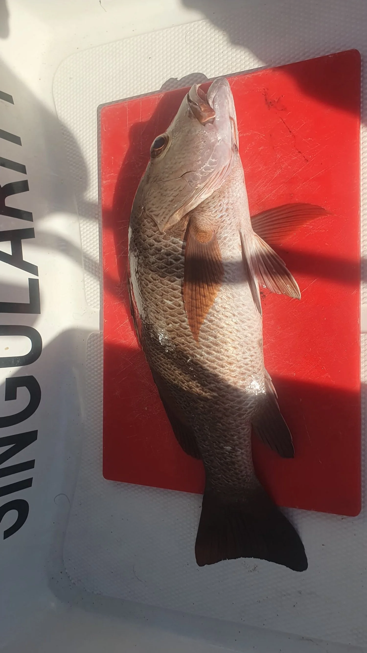
Just after lunch we arrived at Sandy Island, set the anchor and had some lunch before setting off for a walk and a dinner dive. Only a small island and we walked around it in about 45 minutes before a quick swim and then a quick dive to get some dinner. A nice mangrove jack was soon in the bucket and dinner was sorted. Back to the boat for cleanup and then we opted for a lazy afternoon on the beach.


As was to be the way for the next few nights it was completely glassy and we were treated to a spectacular full moon rise over the land giving us our own ‘Stairway to the Moon’. Hard to capture on camera but great to witness.
It is an interesting area to navigate – when looking on the charts large areas of reef are displayed but not visible to the eye when the tide is up as there is generally no swell or anything to make an indication of shallow water. We did get a bit of a sober reminder at low tide when we gazed out to our west to see a large expanse of exposed reef sitting there – exactly as indicated by the charts of course!
We had stronger easterly winds in the morning so after waiting a few hours for them to abate we headed to the next island stop, Large Sandy Island, a distance of only about 10 miles. Again after anchoring and securing the boat we went for a long walk – not quite a full circumnavigation but close – including a walk up to the navigation light and adjacent helipad. We are always interested in all of the flotsam and jetson on our coastlines and there is always something cool to find or see.
The afternoon was spent chasing squid without success before another completely glassy evening with another spectacular full moon rise.
The next morning we were greeted with a light south easterly – enough to get Shrek up and flying but he was still recovering from his swim and wasn’t setting properly. Much to Nicky’s delight we put him up and down three times before deciding it wasn’t quite right and replaced him with the screecher sail.
The passage to Steamboat Island, located adjacent to Cape Preston was just under twenty miles and in lovely glassy conditions we were treated to some whale action just at the eastern end of Sholl Islands. These were literally the first whales we had seen in our passage since leaving Fremantle and they were in a playful mood. After nudging up to a closer distance we were treated to some pectoral fin slapping and then some breaching – right in front of us. Blue skies, glassy blue water and nature at its best!
We arrived to Steamboat Island and after taking a little while to find a suitable anchorage we were soon in the dinghy wanting to explore. The wind however had come up and we had a stiff north easterly making it a little tricky, plus there was a bit of swell coming through making a shore landing very difficult in surging conditions.
We opted for a quick dinghy explore and then to chase some squid which resulted in the squid master bringing home two nice big dinner squid – cooked up in a butter, garlic and chilli sauce!
After a bit of a rolly night it was another early rise with a distance of about 20nm to get us to the entrance to the Dampier Archipelago. We were well and truly in the Pilbara now with an offshore iron ore loading facility at Cape Preston which we needed to navigate around and a few ships at anchor. The AIS was also lit up with various gas ships, rig tenders and work boats and so we knew that we were close to the very busy hub of Dampier.
By lunchtime we were slowly motoring down the southern side of Enderby Island and had arrived in the Dampier Archipelago; the wind dropped to nothing (from 5 knots mind you!) and the sun came out to welcome us into a beautiful part of Western Australia.